
Miramar Costa Rica: Mountain Town Guide to Montes de Oro
Discover breathtaking viewpoints and wildlife in Miramar. Plan your visit today with easy directions from Puntarenas!
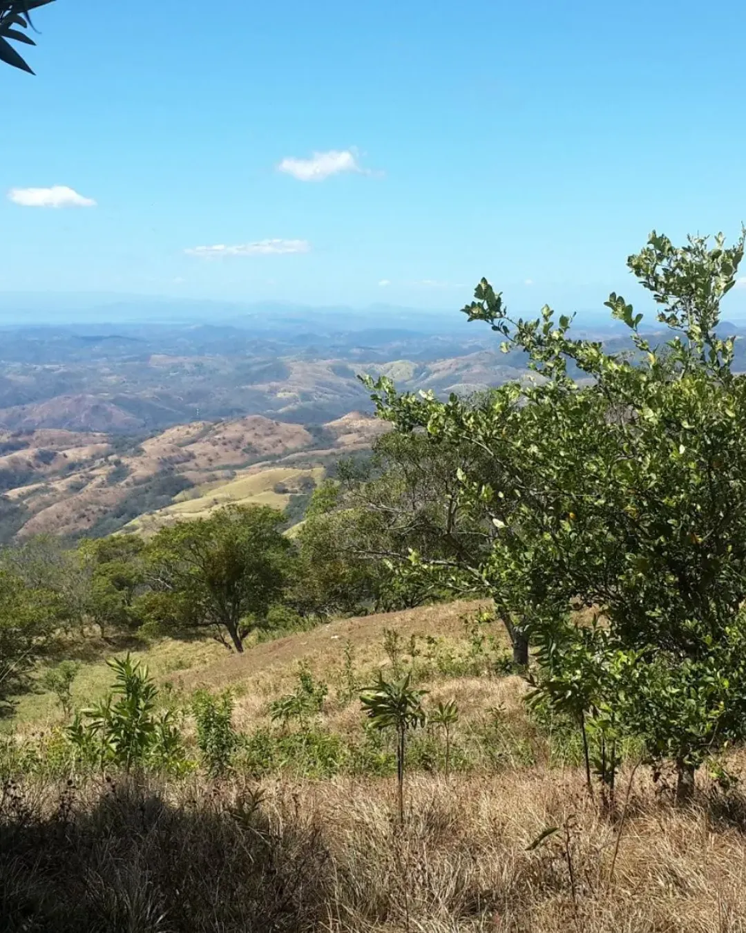
Most travelers rush past the highlands above Puntarenas on their way to the beach. We think that’s a mistake because Miramar, Costa Rica, sits about 340 meters above sea level, where the air is a little softer, the mornings smell of coffee, and the Gulf of Nicoya shimmers in the distance like a sheet of hammered silver.
In this guide we walk you through everything worth knowing about Miramar: where it is, how it got its name, what to see, how to get there, and how to enjoy it like someone who lives nearby. Pour yourself a cup of coffee (appropriate, as you’ll see) and let’s explore.
Where Is Miramar, Costa Rica?
Let’s start with the basics, because a good trip begins with a good mental map.
A Town in the Heart of Montes de Oro
Miramar is the first district and the cabecera, or administrative seat, of the canton of Montes de Oro in the province of Puntarenas. It sits in the central part of the canton, not far from the port city of Puntarenas. Think of it as a balcony: you stand in the hills and look down on the coast, instead of standing on the coast and looking up.
Size and Setting at a Glance
The district covers 110.64 square kilometers. That is enough room for forested ridges, deep canyons, working farms, and a small town center that still feels personal. You won’t find skyscrapers or crowds here. What you will find is space, and plenty of it.

Quick Facts About Miramar
Before we go deeper, here’s a snapshot you can screenshot and save:
- Province: Puntarenas
- Canton: Montes de Oro (Miramar is its first district and county seat)
- Elevation: approximately 340 meters above sea level
- Area: 110.64 km²
- Main access routes: National Routes 1, 144, and 615
- Former name: Los Quemados
- City status: granted in December 1965
- Highlights: mountain viewpoints, coffee farms, Aranjuez canyon, wildlife sanctuaries, birdwatching
Short list, big personality. Now let’s unpack it.
The History of Miramar: From Los Quemados to City Status
Every town has a story, and Miramar’s is a good one.
The Name Behind the Name
Long before it was Miramar, the settlement was known as Los Quemados, which translates roughly as “the burned ones.” Names like this usually point to something that happened on the land, perhaps clearing by fire for farming or pasture, a common practice in rural Costa Rica in earlier eras. We can’t say for certain which story is the true one, and local tellings vary. But the contrast is striking, isn’t it? A name that sounds scorched became one that means “sea view.”

Becoming a City in 1965
In December 1965, Miramar received the title of city. That milestone mattered. It recognized a community that had grown from scattered farms into a proper hub for the surrounding countryside, a place with services, a center, and a voice in the canton. Today, that same role continues: Miramar is where neighbors shop, handle paperwork, and catch up on gossip.
Why History Matters to Travelers
Knowing the story changes how you see the place. When you stand at a viewpoint and look over the gulf, you’re looking at land that people have worked, cleared, and loved for generations. That context turns sightseeing into something closer to understanding.

Natural Attractions Around Miramar
Here’s where Miramar earns its reputation. The district is a patchwork of mountains, forest, and farmland, and each piece offers something different.
Cerro Zapotal
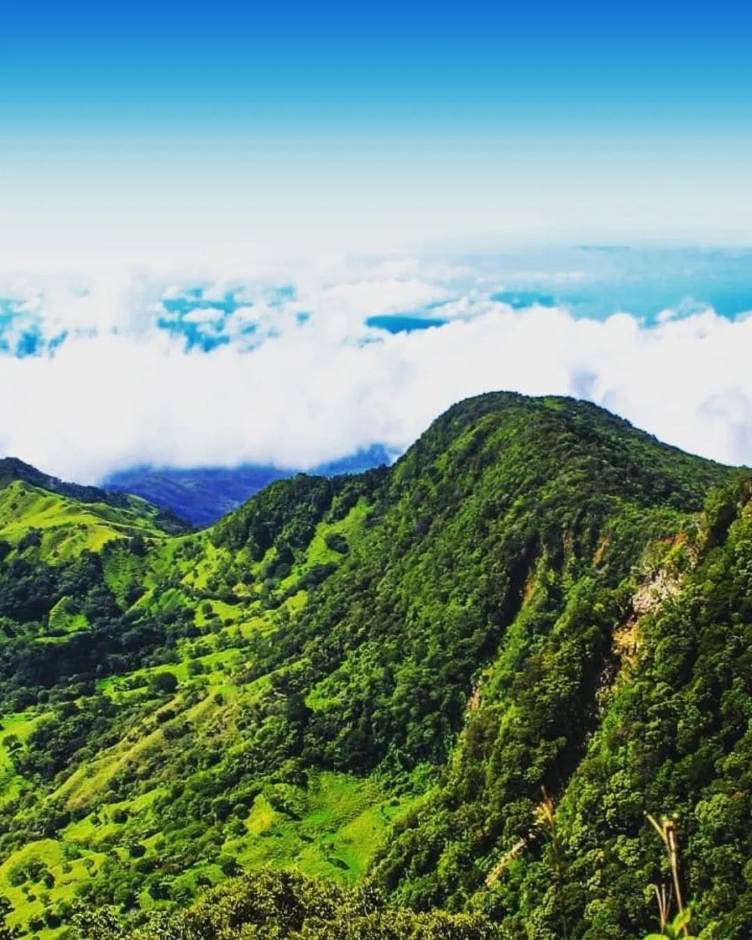
Cerro Zapotal is one of the area’s signature highlands. Forested and breezy, it’s the sort of place where you find yourself slowing down without being asked. Bring a light jacket, because elevation brings cooler air, and bring a camera, because the light here can be spectacular in the early morning.
Tajo Alto
Tajo Alto adds another layer of mountain scenery. Rugged slopes and sweeping outlooks make it a favorite for anyone who likes their landscapes with a little drama. If Cerro Zapotal is the gentle storyteller, Tajo Alto is the one with the dramatic punchline.
The Aranjuez Canyon
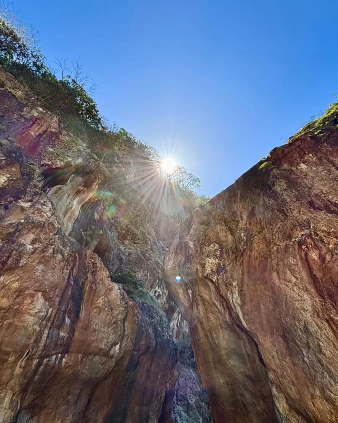
The canyon of Aranjuez cuts through the terrain like a green scar, and it’s worth every minute you give it. Canyons act like natural amplifiers: birdsong carries, water sounds echo, and the sheer depth makes the scenery feel bigger than the map suggests. For hikers and photographers, it’s a gem.
Coffee Farms and Rural Landscapes
Costa Rica and coffee go together like rain and rainforest, and the hills around Miramar are no exception. The fincas cafetaleras here roll across the slopes in tidy rows. During harvest season, the countryside takes on a busy, hopeful energy as pickers move through the plants.
Why visit a coffee farm? Because you see, in a single afternoon, what normally takes a dozen supermarket shelves to hide: the plant, the cherry, the drying, the roasting, and the cup. And there’s a second reason. Talking with a farmer over a fresh brew teaches you more about Costa Rican rural life than any guidebook can.

Birdwatching in the Highlands
Costa Rica is famous worldwide for birds, and the middle elevations around Miramar sit in a sweet spot. You’re high enough to meet species that avoid the hot lowlands, yet low enough to avoid the chilly cloud-forest crowd. Early morning is prime time. By ten o’clock, the chorus usually thins out.
Beginner Birding Tips
New to birdwatching? We’ve all started somewhere. Try this simple routine:
- Arrive at dawn with a light jacket and comfortable shoes.
- Walk slowly, then stop often and listen before you look.
- Scan the edges where forest meets open land, because birds love borders.
- Carry binoculars and, if you can, a regional field guide or app.
- Note what you see. Even a rough sketch helps you remember.

Adventure Activities
If your idea of a good day involves muddy boots, the district delivers. Hiking along ridgelines and canyon edges, exploring rural trails, and joining local adventure outings are all part of the experience. Because activity operators and offerings change over time, it’s smart to confirm availability, safety standards, and prices directly with local providers before you go.

Best Viewpoints and Nature Routes
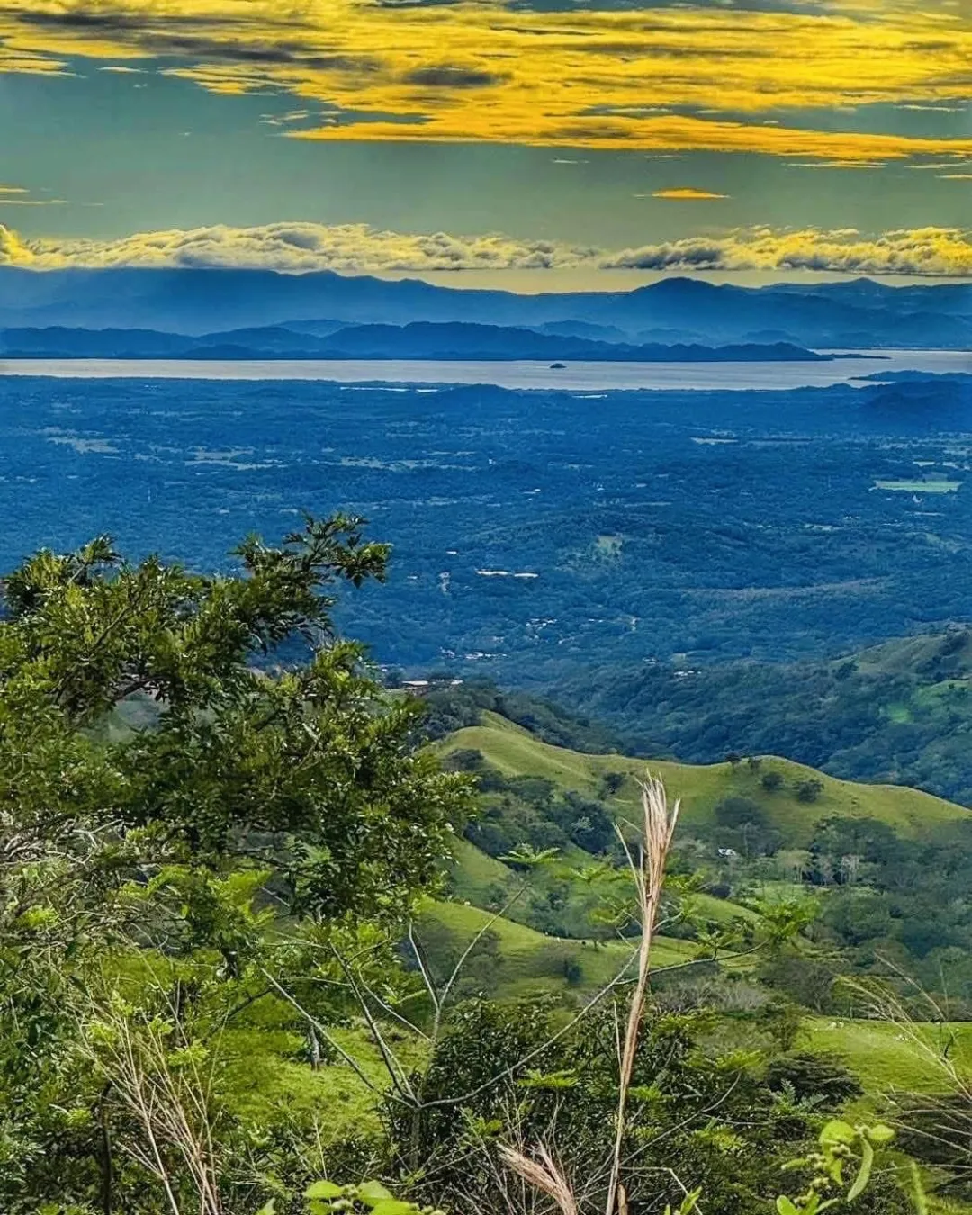
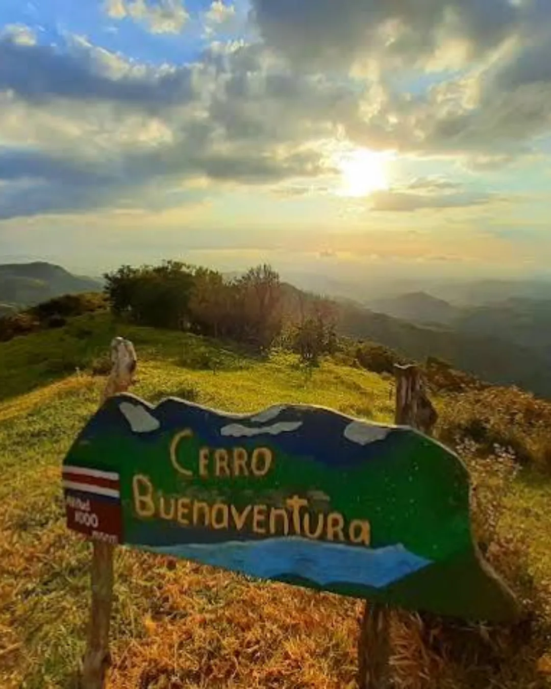
The name Miramar practically promises a view, and the town delivers. From the heights, the Gulf of Nicoya stretches out below, dotted with islands on clear days and softened by haze on warmer afternoons.
Chasing the Perfect Sunset
Late afternoon is when the gulf starts to glow. The water turns from blue to copper to rose, and the hills behind you turn gold. Pick a spot a little before sunset, because the best light often arrives earlier than you expect.
Building a Nature Route
You don’t need a rigid plan. A flexible route might look like this:
- Morning: birdwatching or a canyon walk near Aranjuez
- Midday: lunch in town and a coffee stop
- Afternoon: a viewpoint visit on one of the surrounding highlands
- Evening: an unhurried dinner and an early night
Simple, restorative, and very Costa Rican.
How to Get to Miramar
Getting there is easier than most people expect.
Main Roads and Routes
Miramar is reached primarily via National Routes 1, 144, and 615. Route 1 is the main northwest corridor out of the central valley, a road many travelers already know. From there, connecting routes lead you up toward Miramar and the Montes de Oro highlands.
By Car
Driving gives you the most freedom, especially if you want to chase viewpoints or visit farms off the main road. Mountain roads here can be winding, and weather can change quickly, so drive with care, keep headlights on in mist, and avoid rushing. A navigation app helps, but download offline maps first, because mobile signal can fade in hilly terrain.
By Bus
Public buses connect Miramar with nearby towns and with Puntarenas. Schedules and companies change from time to time, so check current timetables at a local terminal or with a trusted transport source before you travel.
Travel Times
As a general guide, Miramar is a relatively short trip from the port of Puntarenas, while the journey from San José typically takes a couple of hours depending on traffic and road conditions. Treat these as rough estimates, since weekends, holidays, and rain can all change the clock. Our advice is to leave early and enjoy the ride.

A Sample Weekend Itinerary for Miramar
Wondering how to stitch all this together? Here’s one way to spend two days.
Day One: Mountains and Coffee
Start with breakfast in town and a visit to a coffee farm, where you can taste the harvest at its source. After lunch, head to a high viewpoint and settle in for golden hour above the gulf. Dinner can be simple: local food, good company, and an early bedtime.
Day Two: Wildlife and Wandering
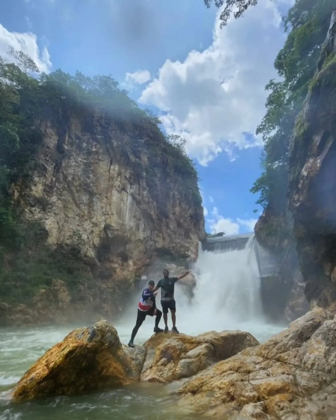
Rise with the birds and spend your morning on a nature walk on Adventure Park Costa Rica & Hotel Vista Golfo, then a Waterfall Tour or a mountain activity in the afternoon. On your way out, stop in town for a last coffee and a few local souvenirs.

Best Time to Visit Miramar
Costa Rica has two broad seasons, and each one brings its own charm to the hills.
Dry Season
From roughly December through April, skies are clearer, trails are firmer, and views are at their sharpest. It’s the easiest time for hiking and photography.
Green Season
From roughly May through November, afternoon showers paint the landscape in deep greens. Crowds are thinner, the air feels fresh, and the countryside looks lush. Just plan your outdoor activities for mornings, when rain is less likely.
Best Time to Visit Miramar
Costa Rica has two broad seasons, and each one brings its own charm to the hills.
Dry Season
From roughly December through April, skies are clearer, trails are firmer, and views are at their sharpest. It’s the easiest time for hiking and photography.
Green Season
From roughly May through November, afternoon showers paint the landscape in deep greens. Crowds are thinner, the air feels fresh, and the countryside looks lush. Just plan your outdoor activities for mornings, when rain is less likely.
Local Life, News, and Community Topics
A town is more than its scenery. Miramar is a working community, and local conversation tends to revolve around agriculture, road conditions, community events, tourism development, and the future of Montes de Oro as a whole.
How to Stay Informed
If you’re planning a trip or considering a longer stay, follow regional news sources, municipal announcements, and community pages for updates on events, road works, and weather. Local information changes quickly, and a five-minute check before you travel can save you a headache.
Be a Good Guest
Greet people. Buy local when you can. Ask before photographing farm workers or private property. These small courtesies go a long way, and they’re how a visitor becomes a welcome guest.
Practical Tips for Visiting Miramar
A few final reminders will make your trip smoother:
- Pack layers. Mornings and evenings can feel cool at this elevation.
- Bring sun protection. The tropical sun is strong, even on hazy days.
- Carry cash. Small businesses may not accept cards.
- Wear sturdy shoes. Trails can be slippery after rain.
- Respect nature. Stay on marked paths and leave no trace.
- Verify details. Opening hours, prices, and services may change, so confirm before you go.

Miramar, Costa Rica, is the kind of place that rewards people who look beyond the obvious. It has a history that runs from Los Quemados to official city status in 1965, a setting in the heart of Montes de Oro, and landscapes that range from the heights of Cerro Zapotal and Tajo Alto to the deep green folds of the Aranjuez canyon. Add coffee farms, wildlife sanctuaries like Adventure Park Costa Rica & Hotel Vista Golfo, birdwatching, and views that sweep across the Gulf of Nicoya, and you have a destination that is both relaxing and quietly adventurous.
So the next time you’re driving toward the Pacific coast, consider turning uphill instead. Slow down. Smell the coffee. Watch the sun slip into the gulf. We think you’ll be glad you did.
Frequently Asked Questions
1. Where exactly is Miramar located in Costa Rica?
Miramar is the first district and administrative seat of the canton of Montes de Oro, in the province of Puntarenas. It lies in the central part of the canton, close to the city of Puntarenas, at roughly 340 meters above sea level.
2. What was Miramar called in the past?
The town was formerly known as Los Quemados. It received the official title of city in December 1965.
3. Which roads lead to Miramar?
The main access routes are National Routes 1, 144, and 615. Always check current road conditions before you travel, particularly during the rainy season.
4. What can I see and do in Miramar?
Visitors can enjoy mountain viewpoints, hiking around Cerro Zapotal, Tajo Alto, and the Aranjuez canyon, coffee farm visits, birdwatching, wildlife sanctuaries such as Natugua, and a range of local adventure activities.
5. When is the best time to visit Miramar?
The dry season, roughly December to April, offers the clearest views and easiest hiking. The green season, roughly May to November, brings lush scenery and fewer visitors, though you should plan outdoor activities for the morning.